

Home » Fire Rescue Drone
SAR Drone
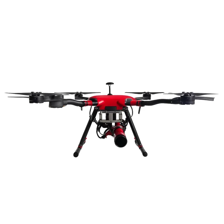
The Poseidon Fire Rescue Drone is a professional-grade firefighting drone designed for search and rescue and fireground reconnaissance missions. Acting as a drone as first responder, the platform enhances real time situational awareness during wildfires, urban disasters, and industrial emergencies by delivering actionable aerial intelligence.
Drones equipped with thermal imaging cameras and high-zoom optical sensors provide real time data to incident commanders, enabling them to assess fire conditions, understand scene dynamics, and coordinate response activities safely from a remote command center.
Developed for modern public-safety operations, the Poseidon Fire Rescue Drone integrates drone capabilities that combine thermal sensing, visible-light imaging, and laser ranging into a unified aerial assessment platform.
The thermal camera (640 × 512 @ 30 Hz, NETD ≤ 50 mK) supports detection of heat signatures and human presence in low-visibility environments such as smoke, darkness, or debris-obstructed areas. The visible-light payload uses high resolution cameras with 20× optical / 200× hybrid zoom to capture detailed imagery for documentation, navigation, and post fire analysis. A Class 1 laser rangefinder provides accurate distance measurements up to 1,200 m (3,937 ft), improving coordination between aerial observation and fire department or ground team operations.
With a flight endurance of up to 45 minutes (mission- and payload-dependent) and stable performance in turbulent wind conditions, the platform supports extended overwatch missions to track fire spread, identify evolving hazards, and assist teams in the field. Sensor and link performance may vary depending on smoke density, weather, and line-of-sight conditions.
Secure encrypted communication links transmit real time data to the command center, supporting collaborative decision-making and operational review.
Drone capabilities optimized for search and rescue and fireground assessment
Equipped with thermal imaging and optical zoom for detection in smoke-obscured or low-light conditions
Real time situational awareness delivered through stabilized imaging and secure data links
High-precision laser ranging to support coordinated aerial–ground response
Rapid deployment and extended flight time for continuous emergency response missions
Secure encrypted communications for data sharing with incident commanders and command centers
Firefighting Operations – Uses aerial sensing to assess fire behavior, track fire development, and provide overwatch during wildland and structural incidents.
Search and Rescue – Locates missing or trapped persons using thermal imaging in smoke, fog, or night conditions.
Disaster Response – Delivers real time situational awareness for earthquakes, floods, and explosions to support rapid resource deployment.
Post Fire Assessment – Supports teams in assess structural damage and document affected areas following fire suppression activities.
Public Safety Support – Assists fire department operations with aerial data collection, scene documentation, and operational review; usage subject to local policy and authorization.
| Parameter | Specification |
| Max Takeoff Weight | 8.5 kg (18.7 lb) |
| Flight Endurance | Up to 45 min (thermal payload; mission- and wind-dependent) |
| Wind Resistance | Up to 14 m/s (≈31 mph) |
| Max Flight Altitude | 4,500 m (14,764 ft) |
| Max Speed | 22 m/s (49 mph) |
| Operating Temperature | −20°C to +50°C (−4°F to +122°F) |
| Ingress Protection | IP55 (airframe) |
| Control Range (LOS) | Up to 15 km (9.3 mi)* |
| Video Transmission | 1080p @ 30 fps, <150 ms latency |
| Frequency Bands | 2.4 GHz / 5.8 GHz auto-switch |
| Encryption | AES-256 |
| Thermal Camera | 640 × 512 @ 30 Hz, NETD ≤ 50 mK, 13 mm lens |
| Visible Camera | 4K @ 60 fps, 20× optical / 200× hybrid zoom |
| Laser Rangefinder | 1,200 m (3,937 ft), ±(1 m + 0.15%) |
| Gimbal | 3-axis stabilized, ±0.01° precision |
| Battery | 600 Wh Li-ion; hot-swap ≤20 s |
| Charging Time | ≈65 min (dual-bay charger) |
| Noise Level | ≤72 dB at 1 m (standard test conditions) |
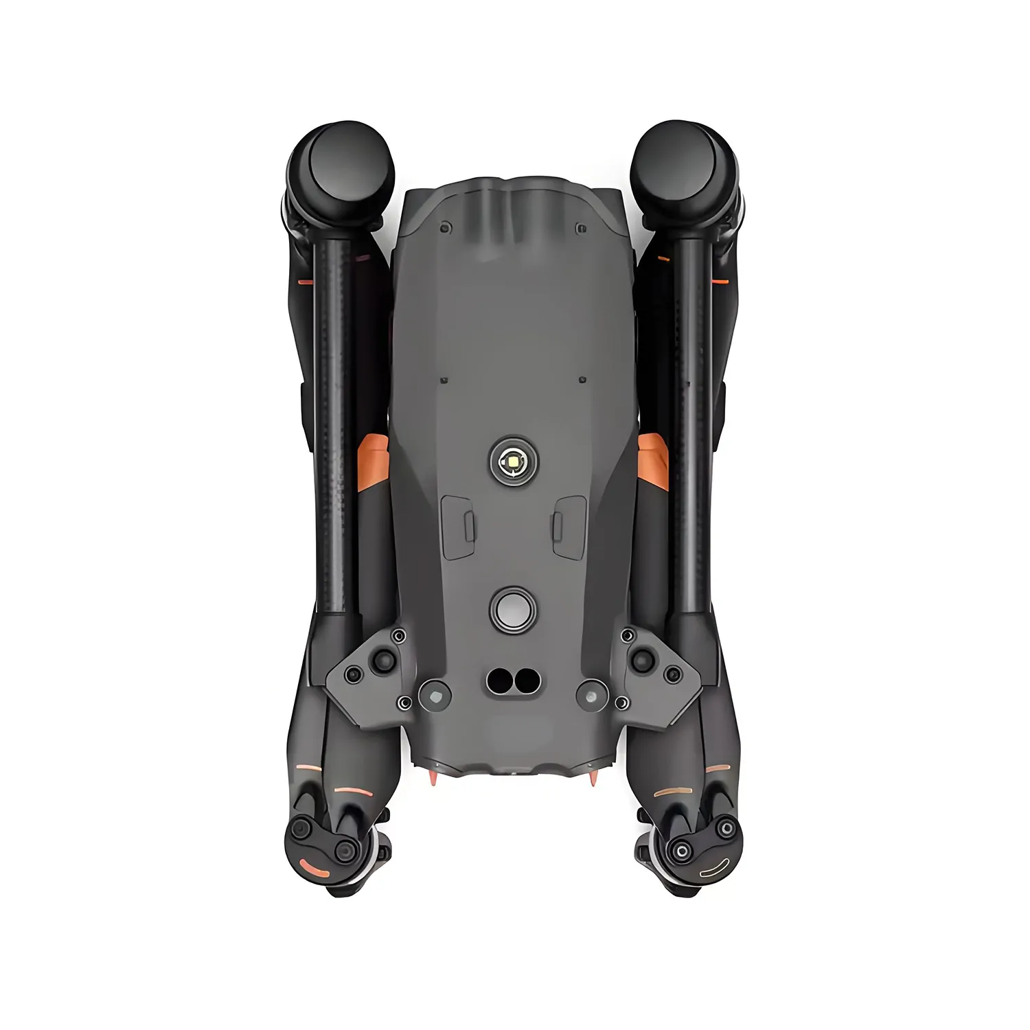
| Dimensions (Folded) | 420 × 260 × 190 mm (16.5 × 10.2 × 7.5 in) |
| Manufacturing Standard | ISO 9001 quality management |